


A yellow weather warning comes into force for Glasgow and the surrounding areas from 6pm on Saturday, April 4, lasting until noon on Easter Sunday, April 5.
Forecasters say a rapidly deepening area of low pressure will move northeast from the Atlantic close to or across northwestern parts of the UK during Saturday evening and night, before clearing to the North Sea by Sunday.
Peak gusts of 50-60 mph are expected widely across the country, with exposed areas likely to see 60-70 mph winds. There is also a slight chance of extreme gusts of 80-90 mph in the most exposed locations.
With a number of weather warnings issued, be sure to stay updated and check the latest info 👉 https://t.co/QwDLMfRBfs
Stay #WeatherAware⚠️ pic.twitter.com/ZzvZx09fJK
— Met Office (@metoffice) April 2, 2026
The Met Office warning reads: “A rapidly deepening area of low pressure, Storm Dave, is likely to move northeastwards close to or across northwestern parts of the UK during Saturday evening and night, clearing to the North Sea by Sunday.
“Whilst there is some uncertainty over the exact track, intensity and shape of this area of low pressure, a period of strong west to southwesterly winds is expected during Saturday night and into the first part of Easter Sunday, before gradually easing through the day. Peak gusts of 50-60 mph will be possible fairly widely, with 60-70 mph in more exposed locations.
“There is a slight chance of some very strong winds at times where gusts of 80-90 mph may be possible in exposed areas for a time. Large waves may lead to some dangerous conditions around windward coasts.”
Glaswegians are being urged to secure garden furniture including bins, trampolines, tents, sheds and fences ahead of the storm.
Travellers face disruption too, with strong winds expected to cause delays on the roads, railways and in the air. Network Rail is urging passengers to check their journey before travelling this weekend.
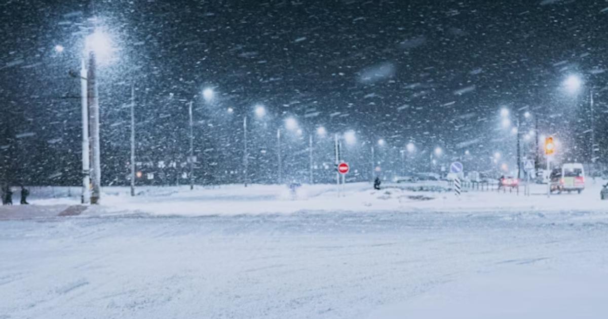
Further north, a separate yellow warning for snow is in place from 3pm on Saturday until 3am on Sunday, with up to 20cm forecast on higher ground. Blizzard conditions and blowing snow are expected to cause very poor visibility across hills and mountains in northwest Scotland.
For further information, visit the Met Office website.


")
