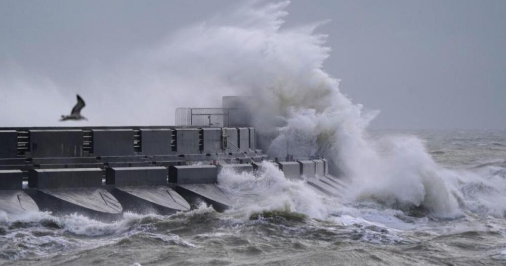
The yellow weather warning which covers Sussex comes into effect from 7am tomorrow and is due to end just before midnight the same day.
Originally, the warning was due to start at 9am on Wednesday and ended at 6am on January 2.
The Met Office said a period of strong winds on Wednesday is likely to lead to some disruption.
What should people expect?
The Met Office said: “An area of low pressure is expected to track across England and Wales, with strong southwesterly winds on its southern flank.
“The strongest winds are expected across coastal regions in the west and south of the warning area, where gusts of 65-75 mph are possible. Inland gusts will typically be in the 40-50 mph range, but a brief spell of 60 mph gusts is possible in association with the passage of an active, squally cold front during the afternoon.”
- There is a small chance of longer journey times or cancellations as road, rail, air and ferry services are affected
- There is a slight chance of some damage to buildings, such as tiles blown from roofs
- There is a slight chance that power cuts may occur, with the potential to affect other services, such as mobile phone coverage
- There is a small chance that injuries and danger to life could occur from large waves and beach material being thrown onto sea fronts, coastal roads and properties
- There is a small chance of injuries and danger to life from flying debris
- There is a small chance that some roads and bridges could close
Source link
[Featured]
[Just In]


