


Alaska’s glaciers are highly sensitive to rising temperatures. According to new research using satellite radar observations, every 1 degree Celsius increase in average summer temperatures extends glacier melting by roughly three weeks.
A single degree Celsius equals 1.8 degrees Fahrenheit.
The study also demonstrates that synthetic aperture radar (SAR) can automatically and consistently monitor glaciers and their snowlines throughout the year. Traditionally, snowlines are usually measured only near the end of the melt season using optical instruments.
Researchers found that SAR provides more dependable data than conventional surface-based optical methods.
The findings were published in Nature.
The study was led by Albin Wells, a recent Ph.D. graduate from Carnegie Mellon University. Co-authors include Carnegie Mellon assistant professor David Rounce and Mark Fahnestock of the University of Alaska Fairbanks Geophysical Institute. Rounce previously worked at the Geophysical Institute as a postdoctoral fellow and research associate.
Tracking Glacier Melt From Space
The research team used radar observations to measure glacier “melt days.” A melt day may represent a full 24-hour period when an entire glacier is melting, or it can consist of several days during which melting occurs across different portions of the glacier until the total affected area equals the glacier’s full surface.
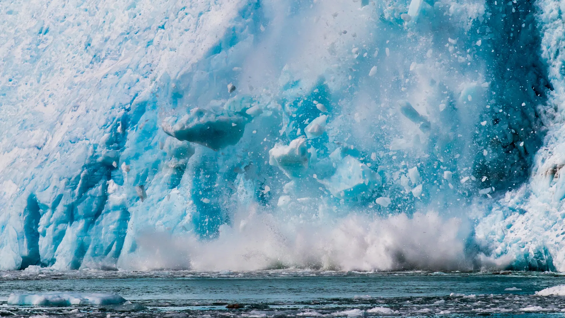
An increase in melt days indicates that the melt season is becoming longer, which contributes to greater overall ice loss.
Using data from Europe’s Sentinel-1 radar satellites, the scientists monitored seasonal changes on nearly every Alaska glacier larger than about half a square mile between mid-2016 and 2024.
Synthetic aperture radar operates by transmitting microwave pulses from a moving satellite or aircraft toward Earth’s surface and then combining the returning signals into detailed images. Because it does not rely on sunlight, SAR can collect data through clouds and in darkness.
Sentinel-1 revisits the same location every 12 days and covers more than 3,000 glaciers across Alaska.
Heat Waves Accelerate Snow Loss
The researchers also discovered that short-term heat waves can dramatically reduce the snow cover that protects glaciers. During unusually warm periods, glaciers lost up to 28% more protective snow than they do in typical years. This percentage applies at the scale of individual mountain ranges and does not necessarily affect every glacier equally within those regions.
“Our ability to quantify these changes is really important,” Wells said. “Melt extents and snowlines are proxies for glacier mass balance.”
Glacier mass balance refers to the difference between how much snow and ice a glacier gains and how much it loses over time.
“These correlations with temperature begin to give a sense for how much melt or snowline retreat we can anticipate under future, warmer climates across the region,” Wells said.
A snowline marks the boundary between a glacier’s accumulation zone, where snow builds up and adds mass, and its ablation zone, where melting removes snow and ice.
Why Radar Outperforms Optical Monitoring
Glaciologists generally rely on optical instruments to evaluate snowlines near the end of the melt season, usually in late summer or early autumn.
“In optical data, the snowline can be really hard to observe,” Fahnestock said. “If you’re a day late taking your picture, it might have snowed on the entire glacier, and you can’t see where the bare glacier ice is down below and where the snow and firn is above.”
Firn is partially compacted granular snow found near the upper portions of glaciers. Over time, it can gradually transform into glacier ice.
According to Fahnestock, optical observations can be affected by changing lighting conditions, shadows, cloud cover, and variations in whether firn appears clean or dirty.
SAR avoids many of those limitations and can provide regular snowline measurements throughout the melt season.
“What Albin has done is operationalize the tracking of surface conditions on the glaciers in a way that can be applied anywhere,” Fahnestock said.
The 2019 Alaska Heat Wave
The researchers closely examined an intense Alaska heat wave that lasted from June 23-July 10, 2019. The event affected every glaciated region of the state except the Brooks Range.
For nearly two weeks, temperatures at many locations ran 20 to 30 degrees above average. Several all-time records were broken, including a reading of 90 degrees Fahrenheit at Ted Stevens Anchorage International Airport. Typical summer highs in Anchorage are usually in the mid-60s.
According to the study, the extreme heat pushed glacier snowlines nearly 350 feet higher in elevation. In an average year, snowlines would not reach those elevations until roughly two months later.
As a result, bare ice and firn remained exposed for longer periods, increasing overall ice loss.
The authors write that this highlights “the sensitivity of glaciers to short-term climatic variability.”
Coastal and Inland Glaciers Behave Differently
The study also identified consistent differences between glaciers located on the coastal side of mountain ranges and those farther inland.
Wells said the number of melt days varied between the two groups, suggesting they respond differently to environmental conditions even though many are losing ice at broadly similar rates.
“This is an important finding,” Wells said, “because it corroborates prior knowledge that glaciers in Alaska on the coastal side of mountains have more melt in summer and more accumulation in winter than those on the continental side of the ranges.”


