The meteorological service has issued its latest long-range forecast, looking at the outlook across the country for the next few weeks.
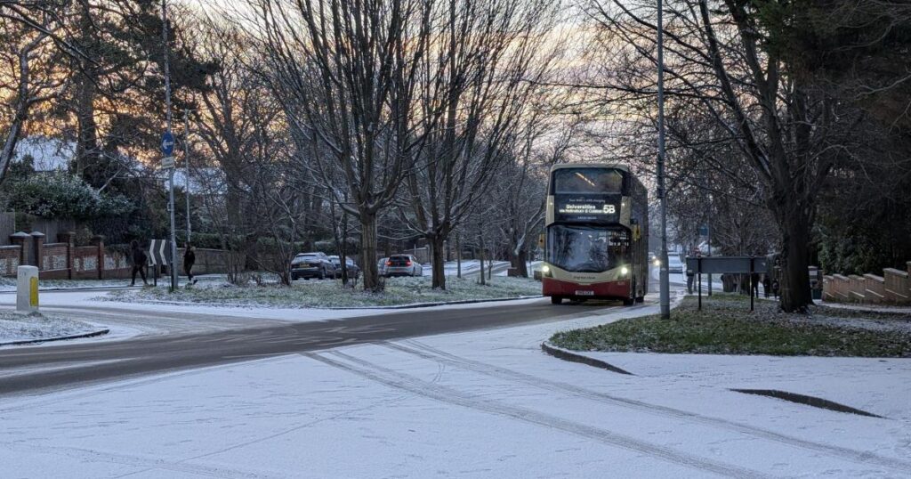
Sussex was last hit with snow in early January, with temperatures dropping to freezing, and places like Worthing, Horsham and parts of Brighton among the areas to get light snow.
Now, there could be more on the way in the coming weeks.
Sussex could be hit with more snow soon, according to Met Office
The first Met Office long-range forecast is from Saturday, February 7, to Monday, February 16.
The forecast predicts more rain, before colder air and wintry hazards hit the UK, moving south in the second week of February.
The Met Office said: “Frontal systems over the Atlantic, steered by a south-shifted jet stream, are likely to approach the UK at times, but tending to stall as they encounter a blocking area of high pressure to the north and northeast.
“This will result in further spells of rain at times, falling in areas already sensitive to flooding.
“As these bands of rain spread northwards, some snow will be possible in northern England and Scotland, mainly over higher ground, as they encounter colder air.
“A subtle shift southwards of these areas of low pressure is anticipated during the second week of February, which may allow a greater chance of colder air to spread across larger parts of the UK at times, including the south, bringing an increased risk of wintry hazards.”
A further forecast from February 17 to March 3 says that a “south-shifted jet stream is likely to persist for much of the time, steering areas of low pressure towards and south of the UK”.
More wet and windy weather could follow, with rain “most frequent in the south and west”.
The Met Office also said that “temperatures overall will likely be close to average for most parts”.
How does the Met Office predict the weather?
As explained on the Met Office website, its weather forecasts come from a “sophisticated process that blends cutting-edge technology, global collaboration, and expert analysis”.
It says that turning raw data into a reliable forecast involves understanding current weather conditions, feeding data into supercomputers, and lastly, expert refinement.
The Met Office explains: “Meteorological centres worldwide collect millions of observations every day, measuring variables like temperature, rainfall, pressure, wind, and humidity.
“These observations capture observations throughout the depth of the atmosphere and come from a variety of sources such as satellites, land surface instruments, upper air devices and more.
“Originally, trained observers manually recorded weather data, but today, most observations are automated using advanced technology.
“These measurements are essential for identifying current weather phenomena like rain, snow, fog, or frost, and for determining their severity.”
Once observations are gathered, they are put into computer models that calculate how the current weather will change over time, and these are also monitored consistently by meteorologists.
Finally, experts “interpret model outputs, consider local factors, and update forecasts to reflect real-world conditions”.
The Met Office said: “Collaboration between countries is vital, as weather systems in one region can quickly affect distant areas.
“We work closely with international partners to exchange data, ensuring comprehensive coverage.”
Do you have any fond memories of snow days in Sussex? Let us know in the comments.
Source link
[Featured]
[Just In]


