


Forecasters have given an update on the possibility of more snow falling in Kent this winter as more chilly weather is on the horizon

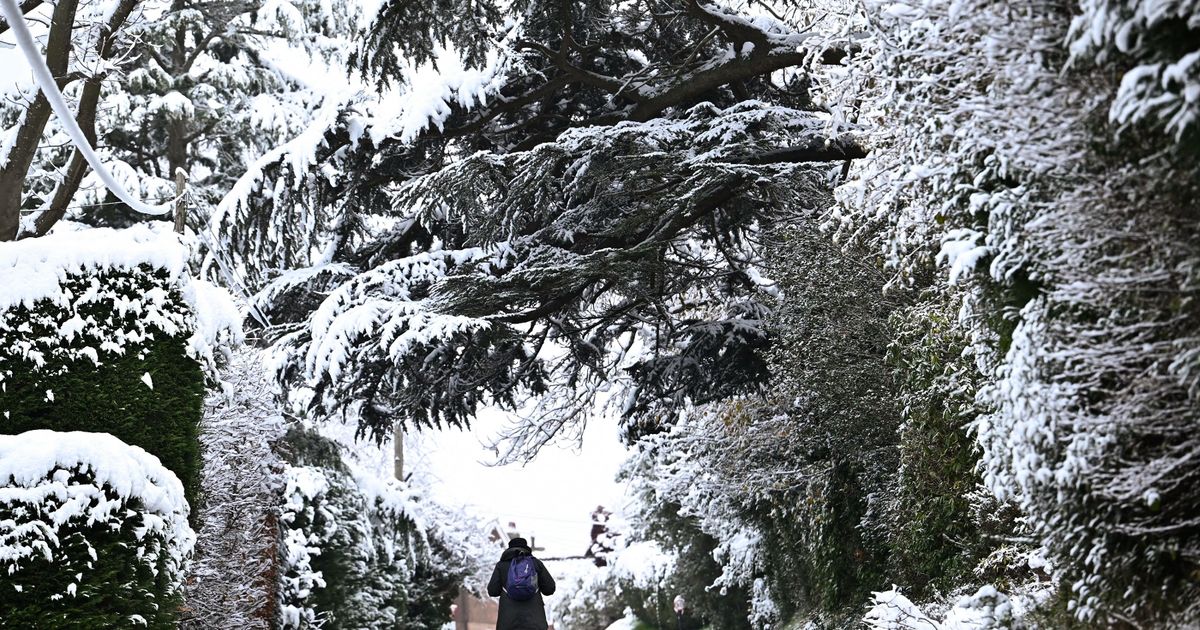
Kent has already seen snow, sleet and ice since 2026 began thanks to the arrival of an Arctic air mass.(Image: AFP via Getty Images)
Forecasters have given an update on the possibility of more snow falling in Kent this winter as more chilly weather is on the horizon. January began with bitterly cold temperatures persisting over much of the nation as a result of a lingering Arctic air mass.
This led to wintery showers, snow flurries and ice warnings kicking off the new year in Kent. Over the last week, conditions have turned milder thanks to the arrival of a low pressure system which replaced the wintery weather with persistent rain showers but milder temperatures.
Following a calmer weekend on Saturday, January 17 and Sunday, January 18, a week of mixed weather is anticipated over the coming days. Throughout Monday (January 19), conditions will generally keep dry, though the odd spell of drizzle is possible in the east, particularly during the late afternoon.
The day will feel mild as temperatures reach 11C at their highest. Turning to tonight, outbreaks of rain and drizzle are more likely, spreading east overnight and possibly turning heavy at times. It will remain cloudy and hill fog may develop by the early morning.
Tuesday will once again see the odd spot of rain develop in the south east region, particularly over Kent at first. Weather maps show rain showers sweeping over the county during the early morning, namely over Ashford, Maidstone, Sittingbourne, Canterbury and Medway from 6am.
The period between Wednesday and Friday will see blustery winds accompanied by a mixture of variable cloud coverage and outbreaks of rain, perhaps turning persistent late on Wednesday. Daytime temperatures are expected to be near normal for January, but will stay milder overnight.
According to the current Met Office forecasts, the remainder of January will see rather changeable weather as Atlantic and high pressure weather systems battle for dominance over the country. It is these conflicting weather systems that could result in the arrival of more snow by the end of the month, though confidence on the specifics of where and when this may fall is low at this time.
Met Office Deputy Chief Forecaster Steven Keates said: “While it does look increasingly likely that conditions will turn more widely colder into next week, the timing and extent of this colder air remains uncertain. There are variations between the different weather models, and although a few show very low temperature values, this is currently the minority. The majority indicate below-average temperatures from the east, but nothing too extreme at the moment.”
Current charts for this time frame show winter showers taking shape over parts of Kent and Sussex, perhaps leading to snow or sleet in Maidstone, Ashford and Folkestone. As February begins, the possibility of such outbreaks seems to decline in favour of rainy spells, though the chance of another cold snap has not been ruled out by the Met Office.
The long range forecast for Monday, February 2 to Monday, February 16 adds: “Initially, slowly evolving weather patterns are most likely in the vicinity of the UK, with low pressure typically to the west or southwest and high pressure to the northeast. This configuration brings an increased chance of cold conditions affecting the UK, and the associated risk of wintry hazards at times.
“Deeper into February, whilst confidence is naturally low, there may be a transition to more widely unsettled conditions and a corresponding recovery in temperature back closer to average.”
Meanwhile, BBC weather also predicts a return of wintery showers toward the end of the month, though is anticipating sleet to arrive in Kent rather than snow, particularly in areas such as Maidstone, Tunbridge Wells and Ashford, as temperatures drop during the week commencing Monday, January 26. Forecasters predict temperatures will range between 5C at their highest and 0C at their lowest around the county during this week.
Full BBC Weather forecast for Kent, based on predictions for Maidstone:
- Tuesday, January 20 – Light cloud and moderate breeze, 10C
- Wednesday, January 21 – Light rain and a fresh breeze, 9C
- Thursday, January 22 – Light rain and a moderate breeze, 9C
- Friday, January 23 – Light rain and a moderate breeze, 9C
- Saturday, January 24 – Light cloud and a gentle breeze, 8C
- Sunday, January 25 – Light rain and a gentle breeze, 6C
- Monday, January 26 – Sleet showers and a gentle breeze, 5C
- Tuesday, January 27 – Sleet and gentle breeze, 5C
- Wednesday, January 28 – Sleet and a gentle breeze, 6C
- Thursday, January 29 – Sleet and a gentle breeze, 6C
- Friday, January 30 – Sleet and a moderate breeze, 6C
- Saturday, January 31 – Sleet and gentle breeze, 5C
- Sunday, February 1 – Sleet and gentle breeze, 5C
Get more news from KentLive straight to your inbox for free HERE


